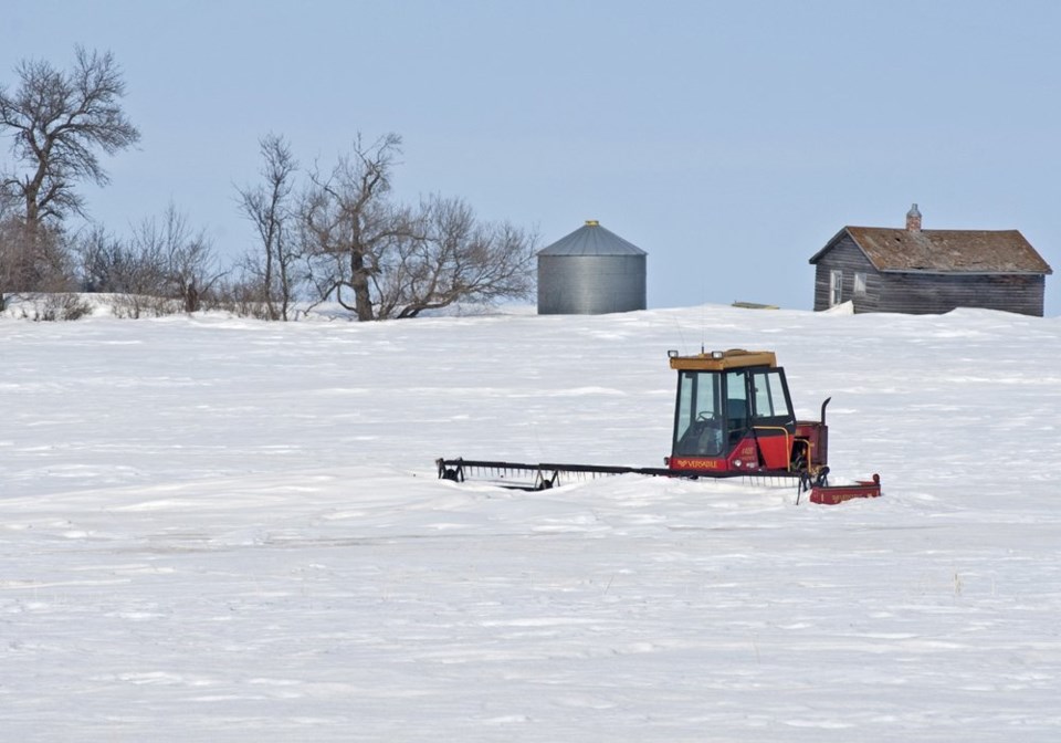
Eric Snodgrass told the Grain Expo during Canadian Western Agribition that the models show near normal to above normal snowfall in December, January and February.
That snow will come with falling temperatures, courtesy of cold weather currently building and being stored in Alaska and northwestern Canada.
"We do expect, as it returns, to see above normal snowfall and this is a very good thing to see because we want to, over winter, build up that snowpack so it's there to melt this upcoming spring and help alleviate our drought issues," he said.
Snodgrass said predicting the weather accurately beyond 21 days is difficult because forecasters can't trace back farther than that. Three-day forecasts are about 97 percent accurate, while five-day forecasts drop to 92 percent accuracy and seven-day to 78 percent. Ten-day forecasts are about 50-50, he said.
However, forecasters do know where the weather is coming from.
"It is the weather in the Pacific and in the Indian Ocean coming off Asia that determines what we get here in the Canadian prairie," Snodgrass said. "Whenever there are big storms from the eastern side of Africa to the central Pacific we monitor it. We diagram where these big storms are going to be…. (that) determines where the energy and moisture comes out."
He said the European model is the best in the world. It, along with the eight North American models, are all showing that the snow is coming.
Snodgrass noted that people put their faith in groundhogs — accurate just 38 times in the last 130 years — to predict spring. Some people have sent him photographs of persimmon nuts cut in half to reveal what appears to be the image of either a knife, a fork or a spoon as a predictive method. Others rely on the colours of fuzzy caterpillars to forecast warm or cold winters.
Snodgrass said relying on most recent experience is often the best predictor, even though this past year was unusually dry.
Plotting the total prairie precipitation from April through October, from 1950 to 2021, on a graph indicates 1979 was the last time it was so dry. Before that, the driest year was 1967.
On average, the prairie received around 360 to 370 millimetres of rainfall.
However, a line drawn through the data set shows that, on average, the precipitation through that period has increased since 1950 by about 50 mm or about 11 percent.
"These long-term trends help guide us in predicting what the future is going to be," he said.
The 2021 drought is largely a result of a ridge of higher atmospheric pressure that parked over British Columbia and Washington and forced the jet stream to run over top of it.
Ridges are associated with hot, dry conditions.
"Essentially you want to avoid ridges at all cost throughout the growing season," he said.
Storms later in August were a result of the ridge moving up over Hudson Bay and Greenland.
Snodgrass said scientists have been studying ridging for a long time and over the last 70 years have seen them occur more frequently on the west coast. Prairie farmers want the ridge to stay to the west for more rain.
"The farther to the west it goes, the better shape you're going to be throughout the Canadian prairie for getting flow out of the northwest and big-time thunderstorms," he said.


